Hello Everyone,
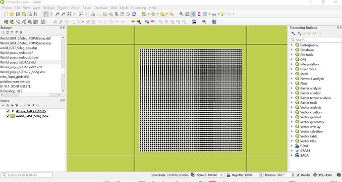
I have more than 3000 shapefiles in a folder corresponding to each latitude and longitude. Each shapefile contains 2500 points across covering 50km X 50 km area and contains air pollution concentration values at each point (As shown in Figure below). I want to merge these shapefiles into one file for further processing. Please help!!
Read one of the shapefiles with the {sf} package and get familiar enough working with geometries in that system, then come back for help in combining to sf data frames, and eventually a for-loop or vectorized function recipe to sweep them all into a single object. The hard part will probably in the first step to sweep in both the point geometries and the associated concentrations.
This topic was automatically closed 21 days after the last reply. New replies are no longer allowed.
If you have a query related to it or one of the replies, start a new topic and refer back with a link.
