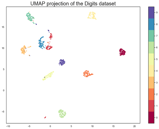
I have used the umap and ggplot2 packages to perform dimensionality reduction and make a UMAP plot, similar to the one I've pasted below. Familiarity with UMAP is not necessary for my question.
Can these clusters somehow be 'detected' programatically? What I'm asking is for a way to look at the data and zoom in on a given cluster to say "all points within this border are considered a cluster". Here there are roughly 10 of them, I'd like to just draw a border or place a label on them. No method would ever be perfect, of course.
I've seen this done before in the seurat package, but I was unable to make it work here since my data was not produced with that package.
