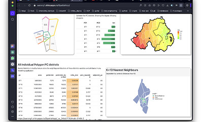
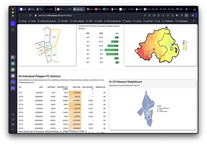
Geographic analysis tool
Authors: Aaron gorman
Abstract: A geospatial analysis tool that displays some interesting ideas and applications of geospatial analysis in R, including constructing shapes from point data using voroni tesselations, boundary and weight calculation, contiguity derivations and spatial autocorrelation. Particular focus on Northern Ireland geographies are used due to their rich geospatial datasets available.
Full Description: A geospatial analysis tool that displays some interesting ideas and applications of geospatial analysis in R, including constructing shapes from point data using voroni tesselations, boundary and weight calculation, contiguity derivations and spatial autocorrelation. Particular focus on Northern Ireland geographies are used due to their rich geospatial datasets available.
Shiny app: https://aarong1.shinyapps.io/SpatialApp/
Repo: GitHub - aarong1/SpatialApp
Thumbnail:
Full image:

