Im wondering if there is a way for me to identify the local minimum value in a lidar point cloud. It’s fairly easy to identify the local maximum using the locate trees function in the lidr package.
I need to retrieve the lowest heights of a specific class in a LiDAR point cloud with a 5m search window.
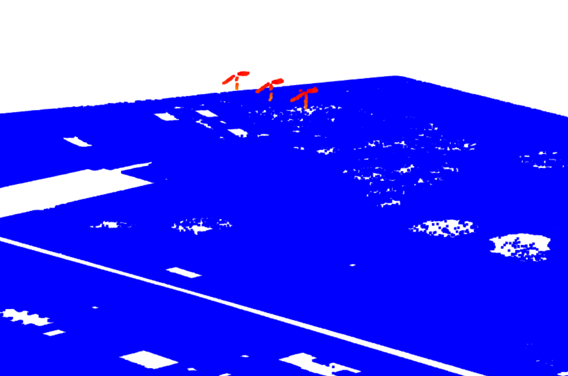
In the following image i have ground points and points for the classified wire connectors. I want the height of the lowest point in the wire connectors.
if you had an easy way to subtract all the heights from the global maximum height, and find the local maximum of that difference, that would be equivalent to the local minimum.