Issue
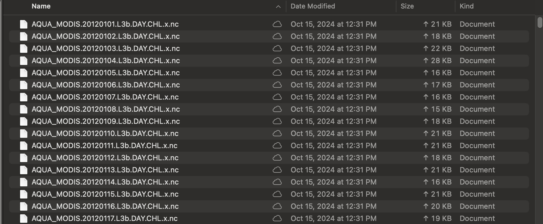
I downloaded AQUA-MODIS netcdf files (total = 3422) for chlorophyll-a from the Earthdata website from 2012 to 2024 for The Northern Red Sea, Egypt.
I need to:
- Stack all the 3422 AQUA MODIS netcdf to create in the function terra::rast() (or equivalent) to create a SpatRaster to calculate the mean chlorophyll-a levels of all files.
I have tried using packages such as ncdf4, terra, raster, and RNetCDF without any success (see my efforts below). I've also tried looking for solutions on Stackoverflow and did some troubleshooting with suggestions from ChatGPT and nothing has worked. I really don't understand how find a solution.
Many thanks if anyone can help.
Here's the manifest.txt link to get the data (expires Oct 22nd 2024)
https://oceandata.sci.gsfc.nasa.gov/cgi/getfile/requested_files_2.tar?h=ocdist410&p=/data1/d0703031e30f7f6f/requested_files
Read the files into R:
 library(terra)
 library(ncdf4)
 library(raster)
 library(RNetCDF)

#Start the file path to all the netcdf files as a variable 'folder'
folder<-"~/Documents/GIS_Data/CHL-A/"

#Make a list of all the files within the folder
files <-list.files(folder, pattern='*.nc', full.names ="TRUE")
Loop through all the file paths and the AQUA MODIS netcdf files to gain access to them:
for (file in files) {
     nc=open.nc(file)
     print.nc(nc)
}
Contents of one of the AQUA MODIS files
netcdf netcdf4 {

// global attributes:
		NC_CHAR :product_name = "AQUA_MODIS.20221217.L3b.DAY.CHL.x.nc" ;
		NC_CHAR :title = "MODIS Level-3 Binned Data" ;
		NC_CHAR :instrument = "MODIS" ;
		NC_CHAR :platform = "Aqua" ;
		NC_CHAR :temporal_range = "day" ;
		NC_INT :start_orbit_number = 109682 ;
		NC_INT :end_orbit_number = 109698 ;
		NC_CHAR :date_created = "2024289095750000" ;
		NC_CHAR :processing_version = "unspecified" ;
		NC_CHAR :source = "satellite observations from MODIS-Aqua" ;
		NC_CHAR :history = "/sdps/sdpsoper/Science/OCSSW/DEVEL/bin/l3bin ifile=AQUA_MODIS.20221217.L3b.DAY.CHL.nc ofile=AQUA_MODIS.20221217.L3b.DAY.CHL.x.nc latnorth=37.0000 latsouth=5.1000 lonwest=26.7200 loneast=54.1400" ;
		NC_CHAR :time_coverage_start = "2022-12-17T00:25:01.000Z" ;
		NC_CHAR :time_coverage_end = "2022-12-18T02:59:59.000Z" ;
		NC_FLOAT :northernmost_latitude = 36.8958320617676 ;
		NC_FLOAT :southernmost_latitude = 5.10416650772095 ;
		NC_FLOAT :easternmost_longitude = 50.6941337585449 ;
		NC_FLOAT :westernmost_longitude = 26.7268047332764 ;
		NC_DOUBLE :geospatial_lat_max = 36.8958320617676 ;
		NC_DOUBLE :geospatial_lat_min = 5.10416650772095 ;
		NC_DOUBLE :geospatial_lon_max = 50.6941337585449 ;
		NC_DOUBLE :geospatial_lon_min = 26.7268047332764 ;
		NC_CHAR :geospatial_lat_units = "degrees_north" ;
		NC_CHAR :geospatial_lon_units = "degrees_east" ;
		NC_CHAR :geospatial_lat_resolution = "4.638312 km" ;
		NC_CHAR :geospatial_lon_resolution = "4.638312 km" ;
		NC_CHAR :spatialResolution = "4.638312 km" ;
		NC_INT :data_bins = 31421 ;
		NC_FLOAT :percent_data_bins = 0.132233932614326 ;
		NC_CHAR :units = "chlor_a:mg m^-3" ;
		NC_CHAR :binning_scheme = "Integerized Sinusoidal Grid" ;
		NC_CHAR :project = "Ocean Biology Processing Group (NASA/GSFC/OBPG)" ;
		NC_CHAR :institution = "NASA Goddard Space Flight Center, Ocean Ecology Laboratory, Ocean Biology Processing Group" ;
		NC_CHAR :standard_name_vocabulary = "CF Standard Name Table v36" ;
		NC_CHAR :Conventions = "CF-1.6 ACDD-1.3" ;
		NC_CHAR :naming_authority = "gov.nasa.gsfc.sci.oceandata" ;
		NC_CHAR :id = "AQUA_MODIS.20221217.L3b.DAY.CHL.x.nc/L3/AQUA_MODIS.20221217.L3b.DAY.CHL.x.nc" ;
		NC_CHAR :license = "https://science.nasa.gov/earth-science/earth-science-data/data-information-policy/" ;
		NC_CHAR :creator_name = "NASA/GSFC/OBPG" ;
		NC_CHAR :publisher_name = "NASA/GSFC/OBPG" ;
		NC_CHAR :creator_email = "data@oceancolor.gsfc.nasa.gov" ;
		NC_CHAR :publisher_email = "data@oceancolor.gsfc.nasa.gov" ;
		NC_CHAR :creator_url = "https://oceandata.sci.gsfc.nasa.gov" ;
		NC_CHAR :publisher_url = "https://oceandata.sci.gsfc.nasa.gov" ;
		NC_CHAR :processing_level = "L3 Binned" ;
		NC_CHAR :cdm_data_type = "point" ;
		NC_CHAR :keywords_vocabulary = "NASA Global Change Master Directory (GCMD) Science Keywords" ;
		NC_CHAR :keywords = "Earth Science > Oceans > Ocean Chemistry > Pigments > Chlorophyll; Earth Science > Oceans > Ocean Chemistry > Chlorophyll" ;

group: level-3_binned_data {
  dimensions:
  	binListDim = UNLIMITED ; // (31421 currently)
  	binDataDim = UNLIMITED ; // (31421 currently)
  	binIndexDim = UNLIMITED ; // (4320 currently)
  types:
    compound binListType {
      NC_UINT bin_num ;
      NC_SHORT nobs ;
      NC_SHORT nscenes ;
      NC_FLOAT weights ;
      NC_FLOAT time_rec ;
    }; // binListType
    compound binDataType {
      NC_FLOAT sum ;
      NC_FLOAT sum_squared ;
    }; // binDataType
    compound binIndexType {
      NC_UINT start_num ;
      NC_UINT begin ;
      NC_UINT extent ;
      NC_UINT max ;
    }; // binIndexType
  variables:
  	binListType BinList(binListDim) ;
  	binDataType chlor_a(binDataDim) ;
  	binIndexType BinIndex(binIndexDim) ;
  } // group level-3_binned_data

group: processing_control {

  // group attributes:
  		NC_CHAR :software_name = "L3BIN" ;
  		NC_CHAR :software_version = "5.14" ;
  		NC_CHAR :input_sources = "AQUA_MODIS.20221217.L3b.DAY.CHL.nc" ;
  		NC_CHAR :l2_flag_names = "ATMFAIL,LAND,HILT,HISATZEN,STRAYLIGHT,CLDICE,COCCOLITH,LOWLW,CHLWARN,CHLFAIL,NAVWARN,MAXAERITER,ATMWARN,HISOLZEN,NAVFAIL,FILTER,HIGLINT" ;

  group: input_parameters {

    // group attributes:
    		NC_CHAR :infile = "AQUA_MODIS.20221217.L3b.DAY.CHL.nc" ;
    		NC_CHAR :ofile = "AQUA_MODIS.20221217.L3b.DAY.CHL.x.nc" ;
    		NC_CHAR :pfile = "AQUA_MODIS.20221217.L3b.DAY.CHL.x.nc" ;
    		NC_CHAR :oformat = "netCDF4" ;
    		NC_CHAR :syear = "9999" ;
    		NC_CHAR :eyear = "9999" ;
    		NC_CHAR :sday = "1970001" ;
    		NC_CHAR :eday = "2038018" ;
    		NC_CHAR :sorbit = "-1" ;
    		NC_CHAR :eorbit = "-1" ;
    		NC_CHAR :out_parm = ":DEFAULT:" ;
    		NC_CHAR :processing_version = "unspecified" ;
    		NC_CHAR :reduce_fac = "1" ;
    		NC_CHAR :resolve = "" ;
    		NC_CHAR :merged = "" ;
    		NC_CHAR :loneast = "54.139999" ;
    		NC_CHAR :lonwest = "26.719999" ;
    		NC_CHAR :latnorth = "37.000000" ;
    		NC_CHAR :latsouth = "5.100000" ;
    		NC_CHAR :verbose = "0" ;
    		NC_CHAR :unit_wgt = "0" ;
    		NC_CHAR :median = "0" ;
    		NC_CHAR :deflate = "5" ;
    		NC_CHAR :composite_prod = "" ;
    		NC_CHAR :composite_scheme = "" ;
    		NC_CHAR :doi = "" ;
    } // group input_parameters
  } // group processing_control
}
Attempts to Stack the netcdf files:
Attempt 1:
chla1<-terra::rast(files)
Error Message
Error: [rast] cannot open this file as a SpatRaster: /Documents/GIS_Data/CHL-A/AQUA_MODIS.20120101.L3b.DAY.CHL.x.nc
In addition: Warning message:
`Documents/GIS_Data/CHL-A/AQUA_MODIS.20120101.L3b.DAY.CHL.x.nc' not recognized as a supported file format. (GDAL error 4)
Attempt 2:
chla1<-terra::rast(nc)
Error Message:
Error in methods::as(x, "SpatRaster") :
  no method or default for coercing “NetCDF” to “SpatRaster”
Attempt 3:
chl4<-raster::stack(files)
Error Message
Error in ncvar_type_to_string(rv$precint) :
Error, unrecognized type code of variable supplied: -1
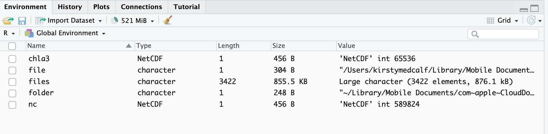
Screenshot of my R Environment
Screenshot of some of my files in my directory